
China

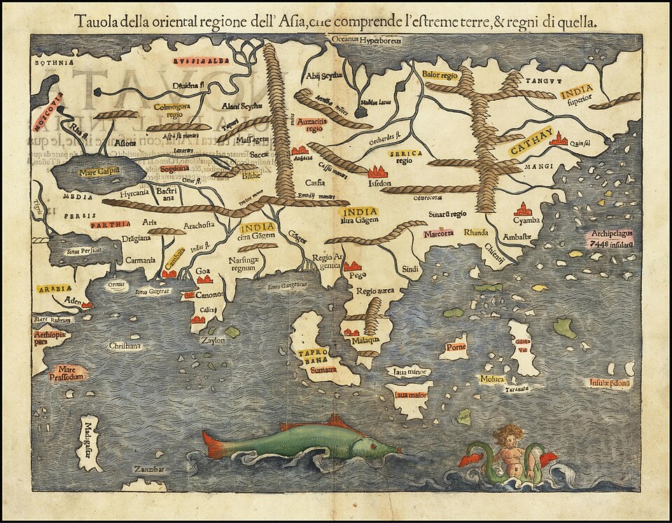
Antique map of Asia printed in Italian, showing regions, rivers, and islands with illustrations of sea creatures in the ocean

Asia by Era | Asia for Educators

An online resource that highlights art and events in different eras in Japan, China, Korea, Vietnam, SE Asia, and South Asia, with a timeline that links to different resources that cover historical events and museum collections that provide information about pieces from different eras. It can be used as a basic timeline to begin research into periods of history, used to provide background information for historical periods, such as the Kofun period in Japan, or to find artifacts that can be used in class discussions.

Student Resource Teacher Resource
A vintage illustrated propaganda poster from the Second Sino-Japanese War, with numbered scenes depicting battles, soldiers, civilians, and revolutionary activities in a comic-strip style layout.

Propaganda Posters -The Second Sino-Japanese War (1937 – 1945) | Chinese Posters

This page collects propaganda posters produced during the Second Sino-Japanese War (following Japan’s invasion of China in 1937). The bulk of the posters are produced by the Chinese Nationalist Party and focus on the need to continue defending China despite heavy losses (the Nationalist party of GMD was doing most of the fighting while the communists were camped in rural China). Some posters produced by Japan (or the Japanese puppet state Manchukuo) used anti-communist sentiments or praised the Japanese army . This source provides several posters with historical context that can be compared and contrasted for discussion purposes.

Student Resource Teacher Resource
A person in traditional Chinese attire stands outdoors holding a bow and arrows, evoking the spirit of Mulan from The Ballad of Mulan, with a quiver at their side and a tree and mountains in the background.

“The Ballad of Mulan” Chinese and English Reading

This document includes “The Ballad of Mulan” written in Chinese characters, pinyin (romanized Chinese), and the English translation, providing a great opportunity to introduce to your classroom, not only the legend, but also the Chinese language.

Primary Source
Council on Foreign Relations logo with white text on a brown background.

Belt and Road Tracker | Council on Foreign Relations

This tracker shows how China’s 2013 Belt and Road Initiative (BRI)—a plan to promote infrastructure development across Africa, Asia, and Europe with Chinese financing—changed countries’ bilateral economic relationships with the nation over time.

Teacher Resource
Three large ancient Buddha statues are carved into a rock cliff, with greenery in the foreground and a small structure to the right—echoing the cultural legacy of the Silk Road.

Yale Silk Road Database | Yale University Library

This collection includes 11,000+ images of major sites along the Silk Road taken between 2006-2010. These photographs take the viewer on a trip through multiple Chinese provinces and the regions of Inner Mongolia and Tibet to map out the modern-day Silk Road that was shaped by the interconnected web of trade routes linking medieval Asia.

Teacher Resource
Illustration of Xuanzang in traditional clothing crossing a rope bridge, with terraced hills and a river behind. Text overlay reads Travels of Xuanzang (629-645 CE), inspired by Google Arts & Culture.

Travels of Xuanzang (629-645 CE) – Google Arts & Culture

“Travels of Xuanzang” is an interactive depiction of the pilgrimage of Xuanzang, a Chinese monk who traveled 10,000 miles along the Silk Road and the Indian subcontinent in search of Buddhist texts.

Student Resource Teacher Resource
Map showing the ancient Silk Roads and Maritime Silk Road trade routes across Europe, Asia, and parts of Africa, with land routes in brown and sea routes in blue on an Interactive Silk Roads Map powered by ArcGIS.

ArcGIS Interactive Silk Roads Map

ArcGIS is a web-based mapping tool developed by Environmental Systems Research Institute (ESRI) that allows users to create maps based on Geographic Information System data. This map, created by Dr. Tom Mueller of California University of Pennsylvania, displays both water and land routes of the Silk Roads.

Student Resource Teacher Resource
Red Chinese seal script stamp featuring four traditional characters arranged in a square, with a white background—perfect for those interested in East Asian Studies or the University of Chicago’s cultural collections.

The Center for East Asian Studies | University of Chicago

The Center for East Asian Studies at the University of Chicago has a great list of digital resources for educators and learners. Included in this list are links to engaging lesson plans and classroom materials, as well as professional development organizations. Educators can reference this resource compilation for subjects ranging from contemporary issues to ancient history.

Teacher Resource
A group of Uyghur men in traditional clothing play instruments and sing outdoors, with microphones set up in front of them and a crowd gathered around.

Teach Uyghur Project: One-Week Lesson Plan | Uyghur American Association

This lesson plan is a comprehensive one-week curriculum on the history of Uyghurs and East Turkistan, along with the current repression campaign by the Chinese government and the Chinese Communist Party (CCP), designed for 11th and 12th grade social science and history students.

Lesson Plan
A city street scene at night with a tram in the background and pro-democracy protest graffiti, inspired by the Hong Kong protests, written in Chinese and English on barriers in the foreground.

Hong Kong’s Pro-Democracy Protests | Arkansas PBS

The resource features a video documenting the recent violent clashes between protesters and police in Hong Kong, highlighting the pro-democracy demonstrations sparked by a controversial extradition law and calls for democratic rights and investigations into police brutality. The resource also includes discussion questions for further engagement with the political and social complexities of Hong Kong’s relationship with China.

Student Resource Teacher Resource
An industrial factory is silhouetted against a sepia sky with the title Warriors of Qiugang, an acclaimed environmental documentary featured by Yale Environment 360, with Chinese characters below it.

The Warriors of Qiugang | Yale Environment 360

“The Warriors of Qiugang” is a video by Yale Environment 360 that documents the fight of villagers in the Chinese village of Qiugang against pollution from a local chemical plant. This resource provides an example of grassroots activism and environmental justice, ideal for teaching students about the impact of industrial pollution and community action.

Student Resource Teacher Resource
Scroll to Top